
What NimbyCheck is, and is not
An independent tool for looking beyond a listing before committing to a place. Public records, with their dates and limits, and the questions to ask next.
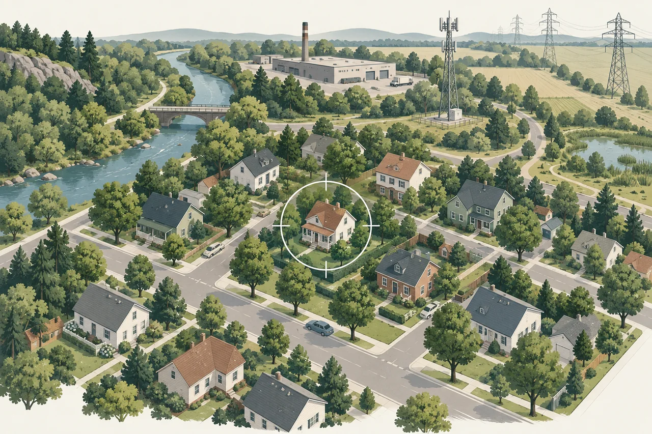
What it does
NimbyCheck maps public environmental, infrastructure and surveillance records around an address, then explains what each record type can and cannot tell you and who can answer the rest. It searches beyond the map circle for the things that do not respect a town line: major air emitters across state borders, Superfund sites, the water system serving the point, FEMA flood zones, radon potential.
What it refuses to do
- No overall score. Combining an unverified camera pin, a closed landfill and a transmission line into one number would be false precision.
- No exposure claims. A record is a reason to ask a question, not a measurement at a home.
- No accounts are required. Free map searches are not stored as a search history. Comparisons live in your browser; paid orders and support messages are retained as explained in the privacy policy.
Who runs it
NimbyCheck is an independent, self-funded project built and operated in Massachusetts by Kostas through Synthesis Benefits LLC, which also sells the Address Brief, with public data from EPA, MassDEP, FEMA, BTS, OpenStreetMap contributors and the Electronic Frontier Foundation. It is not affiliated with any of those organizations. It is a working preview: Massachusetts map coverage, a seven-state air context, nationwide flood and agency-record lookups.
How to reach us
Email contact@synthesisbenefits.com or use the contact and corrections form. Every correction is checked against the original source before a record changes, and the methodology page lists each source with its vintage.